Understanding Coastal Flood Advisories: What You Need to Know in 2024
Coastal flooding is a growing concern for millions of people who live along the shores of the Atlantic, Pacific, Arctic Oceans, and the Gulf of Mexico. With rising sea levels and more frequent extreme weather events, it’s paramount to understand tools like coastal flood advisories that help communities stay safe and mitigate damage. In this blog post, we’ll break down what a coastal flood advisory entails, how it differs from other alerts, and what steps you can take to stay informed and prepared.
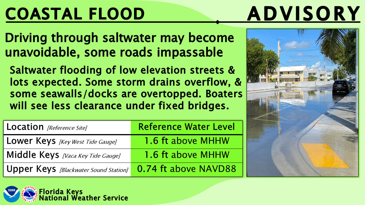
What is a Coastal Flood Advisory?
A coastal flood advisory is issued by the National Weather Service (NWS) to warn specific regions about coastal flooding that may be imminent or ongoing. These advisories are typically issued when flooding is expected to create issues such as road closures, minor structural damage, and challenges for marine and coastal transportation, but without posing a direct threat to life or widespread property destruction.
According to NOAA, the advisory applies when coastal flooding occurs without reaching the severity of a full flood warning. This notification gives you time to prepare but doesn’t suggest life-threatening conditions—yet. It's part of a tiered system that also includes flood watches and flood warnings, providing different levels of precautionary measures.
Coastal Flood Advisory vs. Flood Warning
While a coastal flood advisory indicates minor flooding, a flood warning signals much greater risk. A flood warning is an urgent alert issued when extensive coastal flooding that poses significant risk to life or property is imminent or likely. These warnings prompt evacuations and more serious safety measures.
The National Weather Service uses the Coastal and Lakeshore Hazard Message (CFW) product to issue both coastal flood advisories and flood warnings. You can find live updates, including current advisories and warnings, directly on the NWS site here.
Tools for Assessing Your Risk: NOAA Flood Maps & Inundation Dashboard
Coastal residents and property owners can benefit significantly from available flood risk assessment tools. For example, NOAA’s Coastal Inundation Dashboard provides real-time and historical data on flooding at coastal water level stations. Using this tool can help you track tidal movements and potential inundation risks in your specific area.
In addition, you should explore coastal flooding maps and flood hazard data from FEMA. These detailed maps give insights into the people, places, and natural resources at risk, and they can help property owners understand the potential coastal flood impacts in their locality.
Preparing for Coastal Flooding
Even when a coastal flood advisory is issued and the risk appears manageable, that’s no reason to let your guard down. Flooding can escalate depending on specific weather conditions, wind and tide interactions, and rainfall. Here are steps you can take when a coastal flood advisory is in effect:
- Monitor alerts: Stay updated via the NWS and local authorities. Keep an eye on real-time tools like the NOAA Inundation Dashboard for the latest water level information.
- Secure your property: Protect vulnerable parts of your home by ensuring basement windows, garages, and other low points are fully sealed. Move important items to higher ground if needed.
- Be cautious near the water: Coastal and lakeshore areas can become hazardous even during minor flooding. Avoid walking or driving through floodwaters as a precaution.
- Follow tide predictions: Knowing the tidal cycle can help you gauge when flooding risk is highest. You can access tide predictions via NOAA’s services to better plan around risky time periods.
The Bigger Picture: Growing Coastal Flooding Concerns
According to NOAA's data, coastal development has increased significantly, placing more people, critical infrastructure, and property at risk of flood damage. With rising global sea levels and intensifying climate change-related events, coastal flood advisories are a crucial part of future disaster preparedness efforts.
Communities along U.S. coasts are increasingly vulnerable to flooding by tides, storm surges, and coastal erosion. Providing timely notices through advisories and using innovative prediction tools like NOAA’s dashboards ensures communities can mitigate risk and take action when necessary.
Stay Informed and Stay Safe
In 2023, staying ahead of potential coastal flooding events means understanding the distinctions between various alerts and taking action based on advisories, warnings, and up-to-date risk assessments. By leveraging tools such as NOAA’s Coastal Inundation Dashboard and FEMA’s flood hazard maps, you’ll be better equipped to protect not only your property but also your community.
Make sure to regularly check the National Weather Service for coastal advisories in your region, follow tide and weather predictions, and use the available inundation forecasting tools. These steps will help you stay not only responsive but also proactive against coastal flooding hazards.